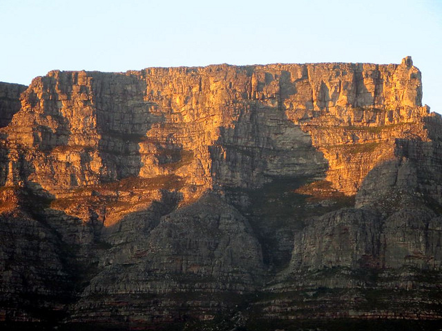
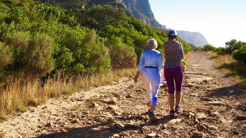
There are Table Mountain hikes that don’t go to the top
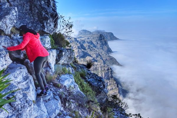
Don’t let Table Mountain’s 1086-metre (3,563-foot) elevation put you off going on a Table Mountain hike. Sure, it can come across as intimidating. But Table Mountain accommodates hikers of all fitness levels and fulfils most hiking expectations. There are plenty of easy and moderate walks on and around the iconic flat-topped mountain. Several popular Table Mountain hiking tours do not go to the very top.
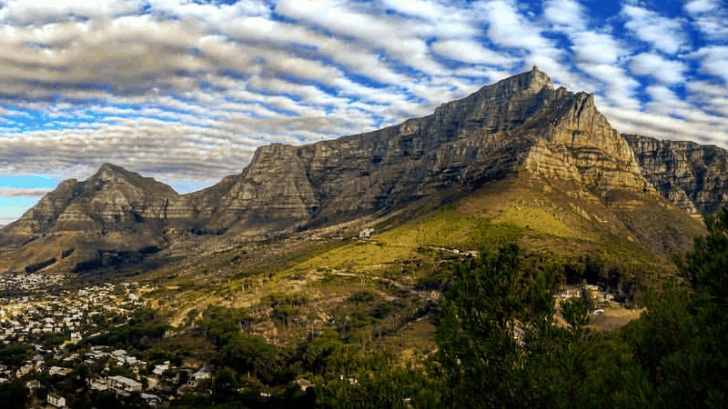
The beauty and tranquillity of Table Mountain can only be understood once off the usual tourist route and you get going on a hike. It’s hard to say which alternate hiking routes are best, as with hiking routes to the top of Table Mountain. All of the alternative routes offer something a little different from each other.
Here’s a descriptive list of our top 10 Table Mountain hiking routes that don’t lead to the top…
Table Mountain hikes that don’t go to the top
1. Pipe Track
The Pipe Track is known for its incredible beauty and tranquillity and is a balanced Table Mountain hiking route. It travels below the western slopes of Table Mountain and the Twelve Apostles mountain range, along the Atlantic Coast. The hiking route runs parallel to large water pipes carrying water from Table Mountain’s reservoirs to the city of Cape Town. Many describe it as one with mind-blowing sights.
Table Mountain’s Pipe Track hiking route is filled with fynbos (indigenous Cape vegetation) and other varieties of flora. It overlooks the Atlantic Ocean, Camps Bay and Lion’s Head. The route is on the western slopes, which provide shade in the early morning and receives sunlight throughout the day. Although this walking route is not strenuous, hiking in the evenings and mornings in the hotter summer months is advisable.
- Hike time: 4 hours
- Terrain: Level, a rocky single track
- Difficulty level: Easy
2. Top Circuit
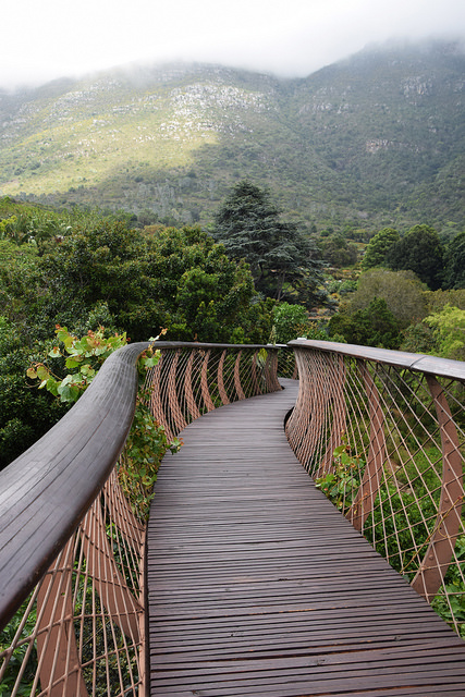
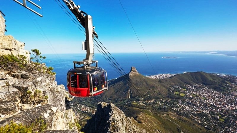
Our Top Circuit hike is one of the Table Mountain hikes that don’t go to the top. Well, to be clear, you do go to the summit but you don’t hike there. You take the Table Mountain cable car up and down, hiking on and around the mountain. Starting at the Aerial Cableway Station, this easy Table Mountain walking route takes you to all corners of the plateau, offering panoramic views of Cape town and the Cape Peninsula.
While hiking Top Circuit, you’ll pass interleading footpaths and visit Maclear’s Beacon. This is a famous stone-built cairn at the highest point of the peninsula. You can then venture off the general tourist route and get a taste of Table Mountain’s splendour, passing unique plant life and crossing the summits of other hikes on Table Mountain. Lengthier Top Circuit hikes are available for adventurous and experienced hikers.
- Hike time: 2 hours
- Terrain: Level, a rocky single track, footpaths, stairs
- Difficulty level: Easy
3. Maclear’s Beacon
The Maclear’s Beacon walk is a well-known walk/hike that one can take from the Table Mountain cable car or extend from a hike up Table Mountain. Maclear’s Beacon, a trigonometrical beacon named after Thomas Maclear that cartographers still use today, lies on the eastern end of the mountain’s plateau. It has become a popular tourist attraction. The visible structure comprises rocks packed in a triangular form.
Maclear’s Beacon has hiking trails over the mountain that pass near to the beacon. A Maclear’s Beacon walk takes you along the Table Mountain plateau and is a fantastic way to see the city of Cape Town and the surrounding mountain ranges. Maclear’s Beacon is the highest point of the Cape Peninsula and Cape Fold Mountain range. This is one of those nice, easy Table Mountain hikes that don’t go to the top.
- Hike time: 1 hour
- Terrain: Level, a rocky single track, footpaths, stairs
- Difficulty level: Easy
4. Contour path, below Devil’s Peak
There’s a contour path under Devil’s Peak that’s enjoyable and not difficult to hike. Hikers cross this hiking route on various Table Mountain hikes in Cape Town. Don’t head off to the top, though. Instead, take the path round the front of Table Mountain. This will give you the opportunity to gaze down at and admire the attractive city, as you pass lovely ravines and gorges and marvel at amazing rock formations along the way.
The contour path runs along the Graaftwater rock line at the basement of Table Mountain, separating granite from sandstone. The preferred way to hike this route is from the corner of Tafelberg Road to the Devil’s Peak region of the mountain. There’s loads to see on this Table Mountain route. It’s a great alternative to hiking to the top of Table Mountain and provides an excellent all-round Table Mountain hiking experience.
- Hike time: 2-3 hours
- Terrain: Level, a rocky single track, footpaths
- Difficulty level: Easy
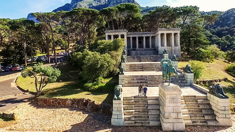
5. Rhodes Memorial
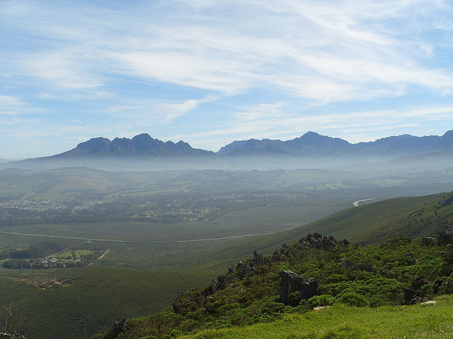
Rhodes Memorial, amongst the top Table Mountain hikes that don’t go to the top, lies on the northern slopes of Table Mountain and lower slopes of Devil’s Peak. The national landmark provides views of Cape Town, the Helderberg and Hottentots Holland Mountains. Ascent from the memorial up to King’s Blockhouse allows a full view of False Bay and the Castle. Here, you encounter the contour path. The route splits in two.
One way takes you to the eastern slopes of Table Mountain. The walk is foresty, shady and relaxing, with the hiking route leading to Kirstenbosch Botanical Gardens. Or, Constantia Nek if you go a little further. In the other direction, the contour path takes you across the front face of Table Mountain on the northern slopes, above the city, Table Bay and Lion’s Head. This route is sunny, rocky and rich in fynbos and vegetation.
- Hike time: 2-4 hours
- Terrain: Level with some steep sections, rocky single track, footpaths
- Difficulty level: Easy
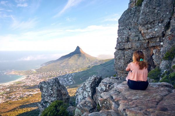
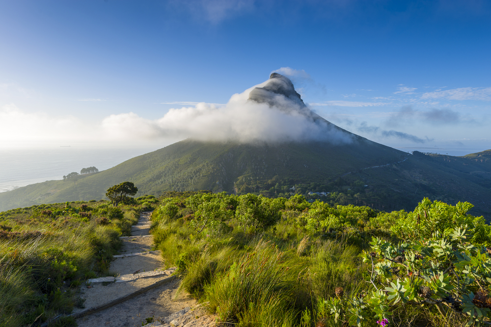
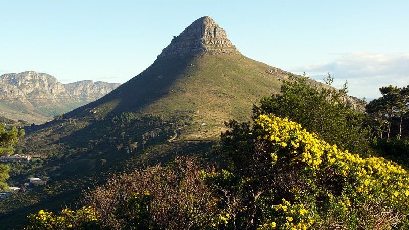
6. Lion’s Head
Lion’s Head is a popular Table Mountain hiking route. The Cape Town mountain, which summits at 669 metres (2,195 ft) above sea level, lies between Table Mountain and Signal Hill. This route for hikers in Table Mountain National Park is best described as a spiral hike to the summit. It starts off on a Jeep-like track and then ends with rather steep sections where hikers must climb up staples or use ladders to ascend.
On Lion’s Head, expect spectacular vistas throughout the hike and once at the top, you can take in 360-degree views overlooking the city of Cape Town, Table Mountain and the Twelve Apostles mountain range, as well as the white sandy beaches and suburbs of the prestigious Atlantic Seaboard. While this route falls into the category of Table Mountain hikes that don’t go to the top, it requires relatively good fitness.
- Hike time: 2-3 hours
- Terrain: Jeep track, a rocky single track, steep sections, ladders, staples
- Difficulty level: Moderate
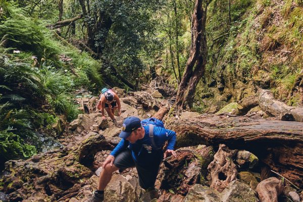
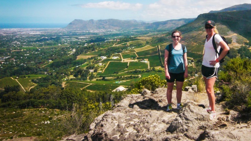
7. Constantia Nek
Starting at Constantia Nek, this Table Mountain walking route takes you to Kirstenbosch Botanical Gardens. It is an easy walking route that leads you through native forest on the contour path along the eastern side of Table Mountain. There are some fairly steep sections and downhills on this hiking walk. However, it is shady throughout the day, as the sun leaves to heat up the western slopes of Table Mountain.
The natural scenery on the Constantia Nek Table Mountain route is remarkable. You pass over watercourses and wooden bridges and cross gorges and ravines. The smells are so crisp and fresh and the streamlets falling from above are invigorating. This route overlooks Constantia Valley, False Bay and Kirstenbosch Gardens, giving hikers a decent understanding of what Table Mountain’s eastern hiking routes are all about.
- Hike time: 2 hours
- Terrain: Dirt road, a rocky single track, wooden steps
- Difficulty level: Easy
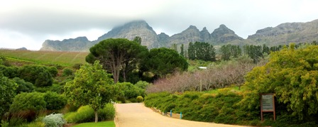
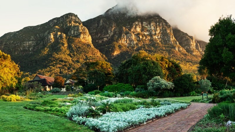
8. Kirstenbosch Gardens
Kirstenbosch, a must on our top 10 list of Table Mountain hikes that don’t go to the top, of course. This world-famous National Botanical Garden is part of the Table Mountain nature reserve. Nestled on the foot of Table Mountain, many hiking routes on the eastern slopes start and end at this very place. Rather than hiking these routes to the summit of Table Mountain, you can opt to walk the stunning gardens instead.
Hikers can walk around for hours in Kirstenbosch. There are interlinking footpaths leading you around the 528-hectare estate. It was established in 1913 to protect South Africa’s collections of proteas and distinctive flora. A lot of the vegetation on Table Mountain cannot be found anywhere else. There are over 2 200 species of flowering plants in the National Park and this easy walking route shows the very best of it.
- Hike time: 2 hours
- Terrain: Footpaths
- Difficulty level: Easy
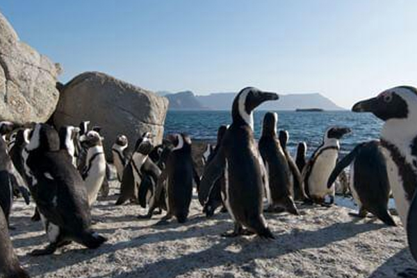
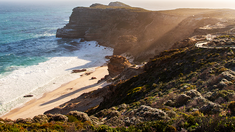
9. Cape Point
A Cape Point hiking tour takes you to the edge of the world, around the southernmost tip of the mountainous Cape Peninsula. Although Cape Point is quite a distance from Table Mountain itself, the promontory is very much still part of Table Mountain National Park and South Africa’s Cape Floral Region. Not very well known to people outside of Cape Town, this World Heritage Site is a paradise for adventuring hikers.
There are numerous Cape Point hikes to choose from but consider avoiding the usual tourist routes. Explore Cape Point’s rugged coastline and white beaches, stopping at some of the most gorgeous lookout spots in the country. In the nature reserve, zebra, eland, daisies, ostrich, baboons and birds roam the cliffs and landscapes. Combine this hiking trip with a visit to the Two Oceans Restaurant and Cape Point landmarks.
- Hike time: 2-4 hours
- Terrain: Rocky single track, level
- Difficulty level: Easy
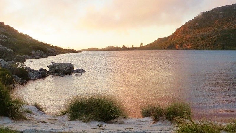
10. Reservoir hike via Valley of the Red Gods
Here’s a Table Mountain hiking route to a cultural side of the mountain. A part that a lot of Table Mountain hikers do not get to see. Take the cable car up and hike across Table Mountain through the Valley of the Red Gods. Detour off to the western cliffs along the way and look upon the Atlantic Ocean, white sandy beaches and suburbs below. Valley of the Red Gods leads to a peaceful, uncrowded part of the Back Table.
On the reservoir hike, you can stroll around the remains of what was once a small town with reservoirs to supply water to Cape Town. The Table Mountain dams reflect the immense beauty of the surrounding landscape. To learn more about the history of the reservoirs, visit the fascinating Waterworks Museum. When you’re done, you can hike back the way you came or take one of many Table Mountain hikes down.
- Hike time: 5 hours
- Terrain: Rocky single track, some steep sections
- Difficulty level: Moderate
For more information on Table Mountain hikes that don’t go to the top and Cape Town hiking locations, please contact us. Alternatively, you can book one of our guided Table Mountain hikes.